

Are you a drone pilot interested in real estate photography or considering hiring a drone photographer? Then you must be wondering how much the new technology will cost you. Search no more for we’ve got you sorted!
So, how much does real estate photography cost?
Real estate photography costs $100 per hour, on average. It can cost you between $50 and $250 per hour or $400 to $800 for a single project.
That includes 10-20 high-resolution images and the property’s small B-roll video.
Nonetheless, the actual cost depends on your location and the photographer’s expertise, among other factors.
| Average cost per hour | $100 |
| Low-end cost per hour | $50 |
| High-end cost per hour | $250 |
This article provides everything you need to know about this technology’s charges to help you have a good start. Let’s dive in.
How much does drone photography cost?
Generally, drone photography has an average cost ranging between $200 and $750 per hour.
You can get a drone operator charging as low as $100 and as high as $10,000 per project.
The specific prices differ for the various packages depending on the photography shoot length, service performed, and resolution.
It’s also worth noting that if your shoot takes more than 90 minutes, it’ll cost you $50-70 more.
Moreover, charges also vary depending on the kind of work involved. For that reason, real estate drone pilots have different charges from other drone operators.
How are drone real estate photography prices calculated?
Drone real estate photography prices are calculated on an hourly or square foot basis, but some photographers may opt for a fixed flat fee.
For that reason, consider your budget and choose the vendor whose pricing structure best suits your needs and pocket. Below are the specific drone real estate pricing categories on a square foot basis.
| Package | Charges |
|---|---|
| Up to 2000 sq. ft. | $150 |
| 2001 to 3000 sq. ft. | $200 |
| 3001 to 4000 sq. ft. | $250 |
| 4001 sq. ft and above | $300 |
| 5 exterior images | $150 (flat fee) |
| 10 exterior images | $250 (flat fee) |
| Drone video | $300 (flat fee) |
Among the various real estate drone photography pricing options, most vendors prefer to charge per session, where each project takes 30-90 minutes.
What is the drone real estate photography process?
The drone real estate photography process is a scenario where a real estate agent hires a private drone pilot to take aerial photographs, videos, or both of their property.
These shots give your footage an appealing and professional look. There are four key shots that drone photographers can take including the following:
- Top-down shot
- High-Oblique/Angled Shot
- Low-Oblique/Pole Shot
- Nightfall Shot
Find an explanation of each of the above shots below.
1. Top-down shot
It’s a vertical shot taken right above the property.
It gives the client a clear view of the layout, land size, boundaries, and any significant features around it. The photograph can color-fade the neighborhood to draw the buyer’s attention to the property of interest.

Additionally, this shot can include annotations like street access, dimensions, and boundary lines.
2. High-Oblique/Angled Shot
It refers to a shot taken when the drone camera is at an angle between 45 and 60 degrees, 200 to 300 meters from the property.
It provides a horizontal view, where the property takes the lower third.

The remaining two-thirds carry the sky and land, allowing a clear view of the surrounding area and major points of interest.
These can include landmarks and amenities such as schools, hospitals, shopping centers, and more.
3. Low-Oblique/Pole Shot
This shot is taken when the drone camera is at an angle slightly above the treeline, 15-20 meters off the ground.
The shot is taken straight-on or at a slightly low angle, focusing mainly on the key property which covers two-thirds of the frame.

Ensure that you’ve more of the house in the frame than the roof. Additionally, have wide and close-ups shots at different angles, eye levels, and distances for exterior facilities.
4. Nightfall Shot
This photograph combines the low and the high oblique shots.
It’s taken with the sun at or slightly below the horizon and all the area’s lights are on. Hence, it’s necessary to note the time that the lights go on, the previous night.
This type of shot works well under low light or at night.
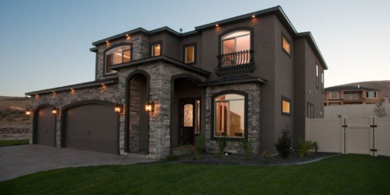
Factors That Affect Drone Real Estate Photography Cost
There are various factors that affect the photography cost including the following:
- Location
- Type of listing
- Type of drone
- Drone pilot experience
- Set up costs
- General expenses
- Optional add-on services
1. Location
Some areas attract higher drone footage pricing than others.
Urban centers have higher market rates and therefore their charges are higher. However, if an area has highly competitive drone photography, the cost can be lower.
Additionally, if the drone pilot has to travel long distances to your property’s location, that may also increase the overall photography cost.
Charges may also go up if the photographer isn’t familiar with your location.
That is because they’ll have to conduct research on the area and familiarize themselves with its operating rules.
In a nutshell, every additional cost your vendor incurs in relation to the new location adds to the final charges. It’s advisable to compare different service providers’ quotes and pick the most suitable.
Real estate drone photography pricing at different locations:
| Location | Pricing per hour |
|---|---|
| Arizona | $100 – $200 |
| California | $100 – $250 |
| Florida | $50 – $200 |
| Idaho | $85 – $180 |
| Kentucky | $50 – $120 |
| Massachusetts | $50 -$150 |
| New York | $100 – $200 |
| Pennsylvania | $50 – $150 |
| Texas | $50 – $180 |
| Virginia | $55 – $150 |
2. Type Of Listing
Even if a photographer would wish to have standard drone photography rates, that may be impossible. Why? The size of properties varies for different realtors and property owners migh